SeedBlink Blog
startups And Financing
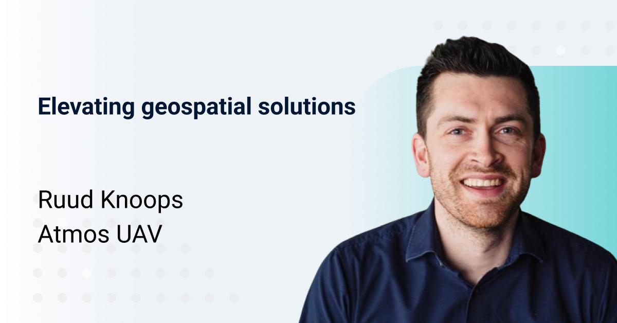
Elevating geospatial solutions: a conversation with Ruud Knoops, Founder of Atmos UAV
a project born at the esteemed Technical University of Delft
Ruud Knoops is one of the founders and is responsible for funding and strategy within Atmos. Together with his 3 co-founders, they created a unique drone designed for geospatial data gathering.
Geospatial data is a special kind of data that allows for creating digital twins of an area, crucial for applications in land administration, construction, precision agriculture, and other mapping-related applications. Atmos, born from a project at the Technical University of Delft, has swiftly grown into a high-tech company since its flagship product, named Marlyn, was introduced in 2017.
Their product neatly combines the vertical take-off and landing (VTOL) from drones with the long endurance of fixed-wing aircraft, resulting in a go-anywhere solution with vast coverage of up to 600 football fields per flight.
Atmos aims to empower professionals across industries to effortlessly gather geospatial data from the sky, facilitating informed decision-making.
Meet the founders showcasing all four founders and what drives them
- What ‘aha’ moment led to the founding of Atmos UAV?
In my case it was no single moment, but a couple of moments that each held a part of the puzzle. Let me further explain:
The first part of the puzzle comes from a job I did before founding Atmos. I was working for a company called FestiCamp which takes care of the camping facilities for festivals. One of these festivals is Tomorrowland, where the surrounding grass fields with a size of more than 100 football fields are transformed into Dreamville to house almost 40.000 visitors over an extended weekend. For a couple of years, I was co-responsible for the build-up, exploitation, and dismantling of a part of their camping site, and something that we ran into each time a year during build-up was that the Google Earth imagery was outdated, therefore plans did not match up with reality and creativity was needed to solve it on the spot. Something our customers nowadays are facing daily.
The second part of the puzzle was during my studies, where together with my current co-founders and other students at that time we entered a worldwide competition organized by DARPA and SSC Atlantic where a drone needed to be developed to perform a specific routine, simplified it needed to take-off and land vertically and cover a large distance. We were competing against more than 120 companies and universities around the world, including prestigious US universities like Stanford and MIT. In the end, we were selected as one of the 10 finalists and ended up in third place! Our product today is still based on that design.
The third, and last piece, of the puzzle is that many of my friends and family are active in the construction industry. From them I learned that it is very challenging to coordinate worksites as people do the wrong things, third-party contractors show up at the wrong locations and many more things go wrong. At the same time, I learned that drones were starting to be used by some professionals in the industry to create digital maps, which intrigued me. So I went out and talked to all professional users of drones. You might think, all of them? Yes, all of them, but back then there were only around fifty professional drone users in the Netherlands! From these conversations, I learned about mapping and how they are used for all sorts of applications in construction, agriculture, environmental monitoring, urban planning, mining, and many more. Which sparked my interest in understanding how maps can be an invaluable asset.
Bringing all three pieces of the puzzle together made perfect sense. After initial development, we found our first customers within one year after the market research, leading to an investment in 2018 after which the company was launched!
- What was your drive back then? What change did you want to make?
Globalization in the past decades resulted in a rapidly and ever-changing world that also gave rise to a growing population with an increase in wealth and prosperity, resulting in mass urbanization, rising demand for resources, and growing environmental impacts. However, this also led to global tensions between the ability to provide and on the other hand managing the finite amount of resources and limited space.
With our solution, we aim to make a positive contribution towards creating a better world for all, where the power of spatial insights is harnessed to address these complex challenges our world is facing.
I’m proud that we are also living up to our mission, as we have supported professionals to change the world, leading to improved urban planning, insights into effective maintenance of flood defense systems, understanding how climate change is affecting tundra, optimizing the construction of solar and wind farms, and more! The drive from the entire team is to continue to work towards that common goal.
- How does Marlyn, your flagship drone, significantly contribute to land surveying, mining, and precision agriculture? What specific market gap does it address?
Our typical customer is working on large-scale projects that span 10 kilometers in length, or at least 1 square kilometer in size. As these projects are so large, it is simply not possible to physically overlook them. Therefore it is extremely difficult, even impossible, to effectively manage these kinds of large-scale projects. In short, the lack of real-time information renders real-time control impossible.
This is where geospatial data or in short geo-data comes in. This type of data makes it possible to create a digital copy of a digital environment in 3D, also referred to as digital twins. Thereby enabling professionals to effectively overlook large-scale projects now they have access to an objective and digital representation of the area which you can walk through. And a digital twin brings so many more possibilities, as now the exact distances of volumes can be easily measured, so no more guesswork in the field. It provides an extra tool for clear communication with contractors as it provides a clear overview of the situation, minimizing errors. Governments can use these digital twins to run simulations of what would happen in a heavy downpour of rain. Much knowledge can be gained from accurate geodata.
Before drones, there were already geodata-capturing techniques available, but they were simply insufficient. Terrestrial or ground-based techniques are time-consuming and cannot reach all locations safely; aircraft surveys are extremely expensive, polluting, and not available everywhere; and available satellite imagery is by default outdated.
Our solution solves all of the drawbacks related to utilizing traditional solutions for large-scale projects. Compared to terrestrial methods our solution (1) is 10 to 20 times faster and cheaper (2) can capture the full extent of the site, and (3) can map impassible areas. Our solution allows our customers to work independently, meaning that they can go where they want when they want. This is in general a big differentiator when compared with manned survey airplanes or helicopters, which are also very expensive and polluting, unlike battery-powered drones. Then lastly, our solution creates a digital representation from the same day the drone is used, resulting in up-to-date maps, in contrast to satellite imagery that can be months or even years old depending on the location. The other differentiator is the detail level of maps, as our solution is much closer to the Earth the level of detail and accuracy is extremely high when comparing it to satellites.
In short, what are the gaps we are crossing compared to traditional mapping methods? We enable our customers to independently and swiftly capture geospatial data, with unprecedented detail and accuracy levels, resulting in reliable insights that lead to effective action plans while being more affordable, all at the same time.
- How do you scale your business, driving financial success?
Within the start- and scale-up world they make the word joke that a hardware business is “hard”. I’m not saying that it is not hard, but every business has its challenges and advantages. One of these advantages for a hardware company is scaling, the revenues will scale proportionally however the returns are scaling more than proportionally due to the economies of scale that kick in. From the moment you are selling more, you also need to produce more, so you need to buy components in larger quantities which results in higher bulk discounts or lower production price per unit.
In the past years, we were not yet able to take advantage of the economies of scale as our company was a technical company. In that regard, 2024, marks for us the start where we are ready to shift from a tech-focussed company to a sales-driven organisation.
This will result in achieving two major milestones: (1) an increasing positive impact on the world by helping out more and more customers who are effectively shaping the world on a day-by-day basis to make it ready for future generations, and (2) resulting in us being able to profit from the economies of scale advantage, driving our financial success as a result.
- Is Marlyn sustainable?
Absolutely! I see Marlyn as an enabler for our customers in achieving their sustainability goals. Utilizing Marlyn both has a direct and indirect impact on sustainability goals. The best way to explain this is through a couple of examples from users
Let’s first talk about direct impact, which is the easiest to illustrate. Several of our customers were using airplanes before integrating Marlyn into their operations. So the direct impact here is achieved by replacing polluting airplanes, with an electrically powered Marlyn. This is significant, as airplanes with this specialized equipment are rare and can be located at the airport hours away from the project site. For one of our customers, we’ve calculated that almost 30 tonnes of CO2 is reduced every year! Moreover, this reduction was only for 1 project, while our customers typically have multiple projects at the same time.
Next to that, we also achieve an indirect impact. Which is in my opinion the biggest impact, but also more difficult to pinpoint exactly. Going back to the basics what we do, is that we enable our customers to gain insights from which they can derive actions, or in short actionable insights. The impact of these insights can be huge, as it can avoid projects taking longer to finish, so for example it can avoid months of construction work and can thus also avoid months of running machinery on-site and those of contractor! It also avoids reworks, which is correcting or redoing construction elements due to errors, as a result of the high-resolution and up-to-date maps that improve on-site communication. In both of these examples, you can imagine a significant indirect impact but difficult to number down.
For a precision agriculture use case, we were able to closely estimate the effect of the actionable insights obtained from implementing Marlyn to more effectively use fertilizer for rapeseed plants. As over-fertilization leads to wasted nutrients that seep into the soil, while under-fertilization hampers maximum yield potential, it is key to efficiently use fertilization. Furthermore, efficient fertilization minimizes the effect on the environment next to the wallet of the farmer. Simply put, the larger the plant, the less fertilizer it needs as it can absorb less nitrogen. Using Marlyn our customer was able to assess the size of individual plants, which is converted to a fertilizer map with specific zones grouped by size and the optimized required amount of fertilizer for each zone. The spraying machine of the farmer is already equipped nowadays with positioning technology so that the machine knows exactly where each nozzle of the machine is and applies only the correct amount of fertilizer depending on the location in the field. Resulting in a reduction of 120 tonnes of nitrogen in this use case, which is a huge financial saving and a huge reduction in nitrogen emissions. Currently a hot topic among farmers!
- How does Atmos UAV guide and empower them to make informed decisions when adopting your solutions?
Insights, and thus also actionable insights, are derived from reliable information, and reliable information is achieved by processing high-quality data. You need to realize that the quality of the insights is directly dependent on the quality of the data. It is also referred to as the garbage in - garbage out principle.
What we have been focussing on during the past years is to create a solution that enables our customers to gather high-quality geospatial data over and over again in a reliable way. So that our customers can also rest assured that the insights gained are reliable, and as a result their action plan will be effective.
Although we are currently focussing on the first part of the chain: (1)data capturing and (2) processing that data into information, we do help our customers throughout the entire chain. Before our product is shipped out to a customer across the world we do a verification mapping flight from which an expected accuracy and quality report is generated. By doing this we know that our product delivers the quality we expect and if the customer contacts us we can help swiftly. The professionalism and quality of our support are endorsed by our users and are something we are very proud of.
- What are potential exit scenarios for investors supporting Atmos UAV?
Our current, main ambition, is to reach break-even and to grow from there. However, our preferred, and also most realistic exit scenario, would be a strategic merger or acquisition by a company already active in the positioning or geospatial market.
It is the most realistic scenario given the consolidation trends in this market, and it is also our preferred scenario as it will accelerate the amount of business that will be using our solution and therefore also accelerate the positive impact that our solution can make, next to the fact that the type of companies that would do a strategic merger or acquisition is much better positioned to valuate what we are doing.
- How do you envision the company's future growth within the drone technology sector?
Although the solution that we currently provide manifests as a drone, our focus is not on the drone industry but on the Earth observation market.
This market, earth observation with drones, is already immense and is expected to grow significantly in the upcoming years. For our type of solution, it is estimated to already be larger than EUR 1B in 2025 and will continue to grow and reach EUR 1,7B in 2030. Resulting in plenty of opportunities in the years to come due to the advancements in sensor technology which will bring new use cases for the market, and maybe even more importantly in the upcoming years is how professionals and companies will adopt drone technology to empower their business processes.
However, to maybe come back to your question: in case we find any applications that have similarities to what we are doing now we will investigate them to see if we can diversify our solution. However, this will never be at the expense of our main market focus.
- Do you have a mentor or person you admire in the tech industry?
I could not name one specific person, I would rather say that I have a couple that I admire in their way. Entrepreneurs such as Joy Mangano, and Steve Jobs, or companies like Blackberry and even McDonald's although that last example is not even a tech company, and entrepreneurs that I know personally, are all important sources for inspiration, tips, and tricks. Understanding the challenges they all faced and the creativity they used to overcome those are all very energizing!
- Why should investors consider being part of Atmos UAV's journey?
By investing in Atmos you are supporting a company that is enabling professionals that are changing the world and preparing it for future generations. Whether it is the construction of renewable energy farms, optimizing crops with a minimum of nutrients, or helping communities to better plan their available space through accurate maps: every insight that we help them to gain, will result in one step closer to creating a better world for all.
Secondly, I would like to emphasize that we value a personal connection. When becoming an investor of Atmos we want you to be part of our team. We embrace the broad knowledge and experiences of our investors, we are open to suggestions, and prefer a two-way conversation.
Thirdly, if you are interested in aerospace, high-tech, or a technology enthusiast our company might be something for you. Or if you are interested in how traditional industries work, are intrigued by how two worlds that are on each other end of the spectrum, namely the digital and the physical, are being used side by side? Then this investment might also be something for you.
And lastly, in the upcoming years, our market will continue to expand with a CAGR of 12-20%, giving plenty of opportunities to grow our company. This in combination with the competitive valuation for this round can lead to significant money multiples of up to 13x, which makes it also very interesting purely from a financial standpoint.
Join our newsletter
Your go-to source for European startup news, equity trends, VC insights, and investment opportunities.

© 2025 SeedBlink. All rights reserved.


